
Virtual Constellation for Commercial Satellite Imagery
Access a gamut of world-class Space-based imagery (HS + MS + SAR) for rapid response, while selecting the right resolution based on the requirement.
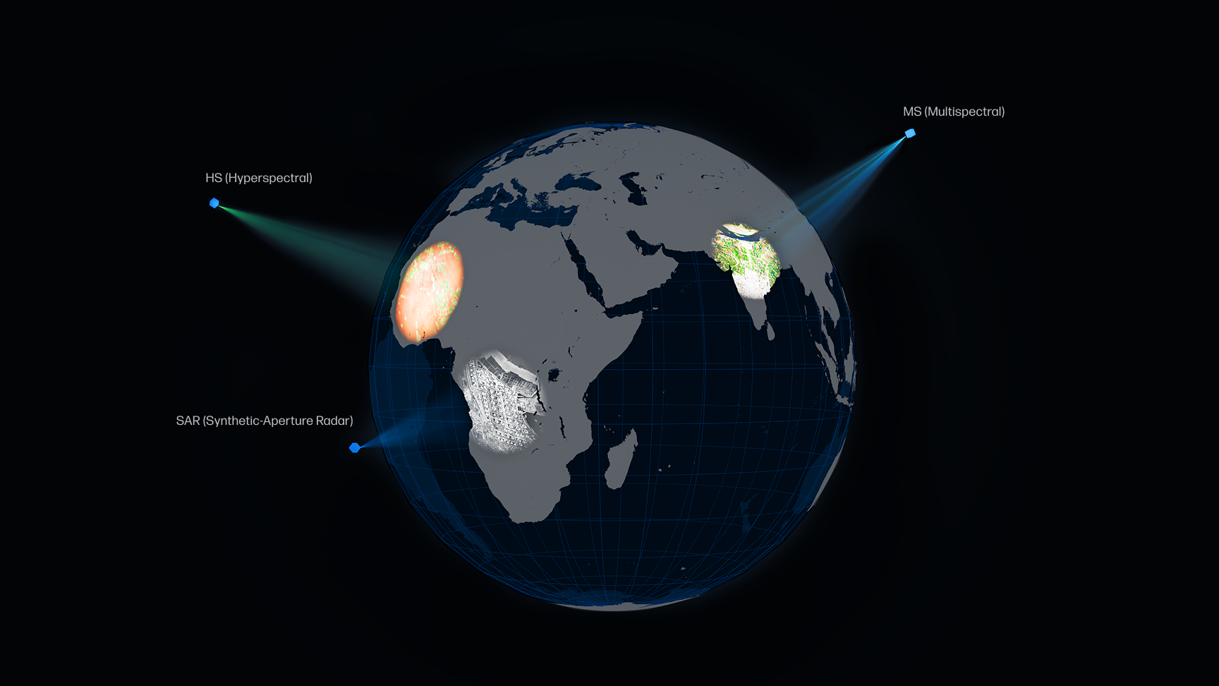

Increased Mission Flexibility

Cost-Optimised Operations

Enhanced Coverage and Resolution Options

Enhanced Operational Efficiency

.webp)


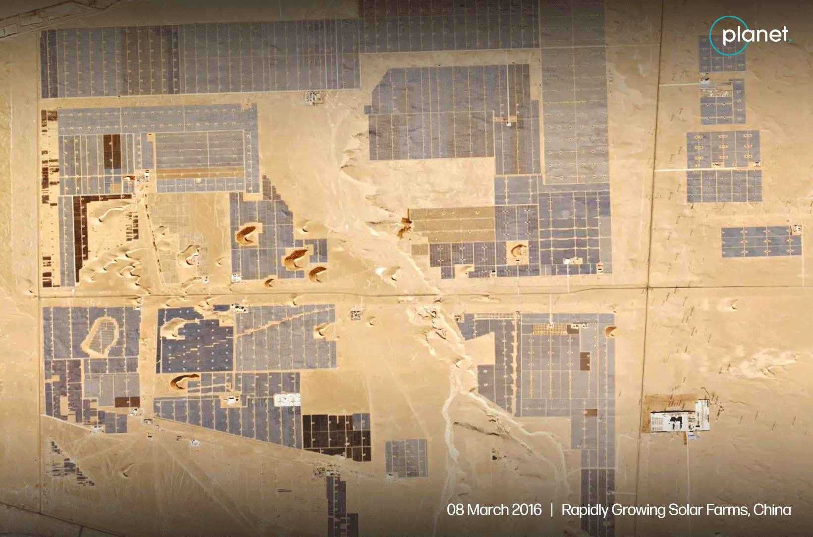
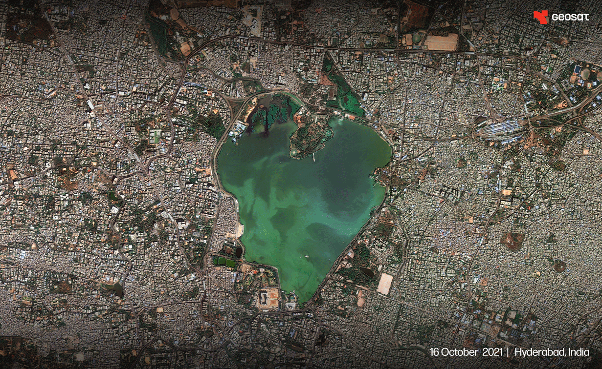
Satellite Imagery Providers


- Resolution/ X Bands
- No. of Satellites
Distinct Edge
End-to-End secure and on-demand access across spectrum

On-premise deployable

Archive and Fresh Tasking

Analytic-ready data products

Multiple base layers and customisation options

3D DEM models

Support team for quick issue resolution and offline support

Customisation to support sovereign assets
Marketplace
Search EO, SAR, RF and HS Imagery from the leading providers
70/90 cm GSD Tasking
Multispectral | Satellogic | USA
Type: Tasking
High resolution 70 cm optical satellite imagery, acquired worldwide with a revisit rate of 4 times a day.
- Resolution: 1m native resolution
- Swath: 5km
- Acquisition type: Mono (5km x 10km x 20km)
- Processing level: Bundle (PAN+MS) or Pan-sharpened
- Spectral bands: RGB and NIR
- Pixel coding: 8-bit or 16-bit
- Minimum AOI: 50km2 for tasking
- Revisit rate: 4 daily revisits
RF
70/90 cm GSD Tasking
Multispectral | Satellogic | USA
Type: Tasking
High resolution 70 cm optical satellite imagery, acquired worldwide with a revisit rate of 4 times a day.
- Resolution: 1m native resolution
- Swath: 5km
- Acquisition type: Mono (5km x 10km x 20km)
- Processing level: Bundle (PAN+MS) or Pan-sharpened
- Spectral bands: RGB and NIR
- Pixel coding: 8-bit or 16-bit
- Minimum AOI: 50km2 for tasking
- Revisit rate: 4 daily revisits
SAR
70/90 cm GSD Tasking
Multispectral | Satellogic | USA
Type: Tasking
High resolution 70 cm optical satellite imagery, acquired worldwide with a revisit rate of 4 times a day.
- Resolution: 1m native resolution
- Swath: 5km
- Acquisition type: Mono (5km x 10km x 20km)
- Processing level: Bundle (PAN+MS) or Pan-sharpened
- Spectral bands: RGB and NIR
- Pixel coding: 8-bit or 16-bit
- Minimum AOI: 50km2 for tasking
- Revisit rate: 4 daily revisits
HS
70/90 cm GSD Tasking
Multispectral | Satellogic | USA
Type: Tasking
High resolution 70 cm optical satellite imagery, acquired worldwide with a revisit rate of 4 times a day.
- Resolution: 1m native resolution
- Swath: 5km
- Acquisition type: Mono (5km x 10km x 20km)
- Processing level: Bundle (PAN+MS) or Pan-sharpened
- Spectral bands: RGB and NIR
- Pixel coding: 8-bit or 16-bit
- Minimum AOI: 50km2 for tasking
- Revisit rate: 4 daily revisits
Use Cases

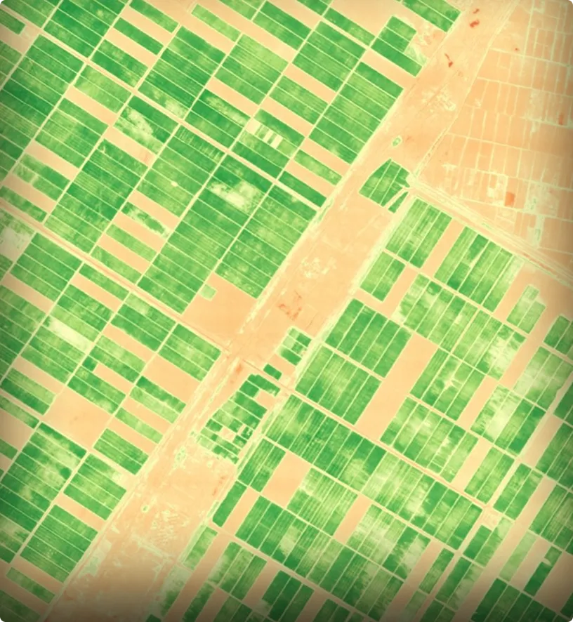
- Agriculture

.svg)
- Forestry

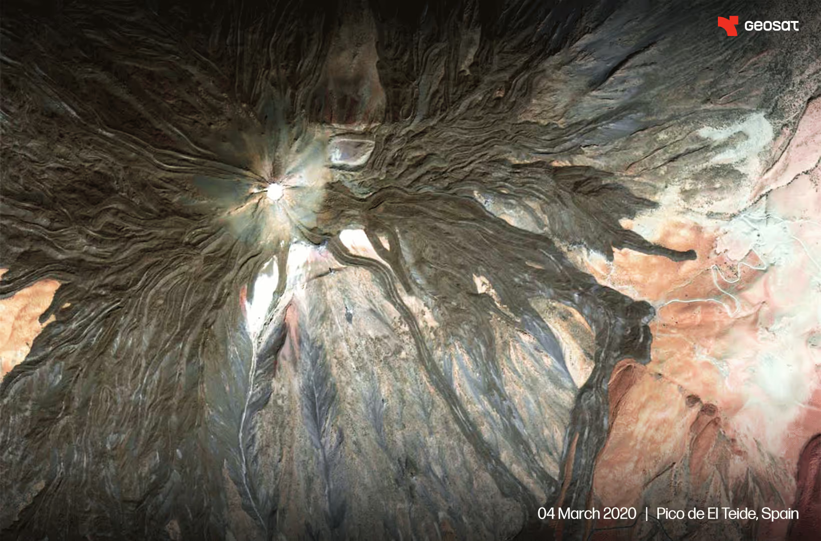
- Geological Mapping

- Coastal Monitoring

- Environmental Monitoring
.svg)
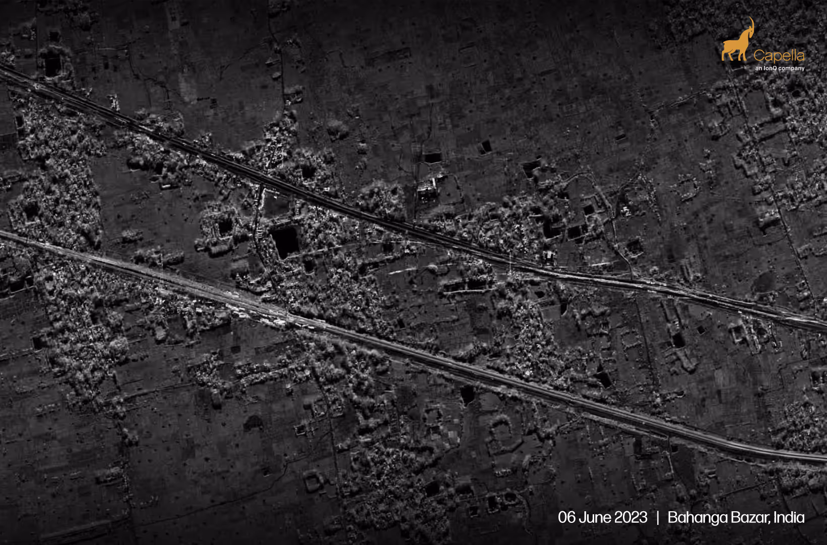
- Urban and Regional Planning

- Disaster Management
.svg)
- Energy and mining

- Finance and Insurance
.svg)
- Marine Traffic and Security

- Military Surveillance and Reconnaissance
- Agriculture
- Forestry
- Geological Mapping
- Coastal Monitoring
- Environmental Monitoring
- Urban and Regional Planning
- Disaster Management
- Energy and mining
- Finance and Insurance
- Marine Traffic and Security
- Military Surveillance and Reconnaissance


Agriculture


Forestry


Geological Mapping


Coastal Monitoring


Environmental Monitoring


Urban and Regional Planning


Disaster Management


Energy and Mining


Finance and Insurance


Marine Traffic and Security


Military Surveillance and Reconnaissance


FAQs


© 2026 AstraView. All rights reserved | 1.1.2